
Goal of second phase was to build an application along with an interactive exhibit to disseminate this information to a wider audience in an engaging manner. I wrote a program that allows residents in these WUI communities to check daily fire danger. I built an algorithm to determine fire rating at any given time and location using parameters of temperature, humidity and wind speed. I used this algorithm by providing the latitude and longitude of Lake and kern counties.
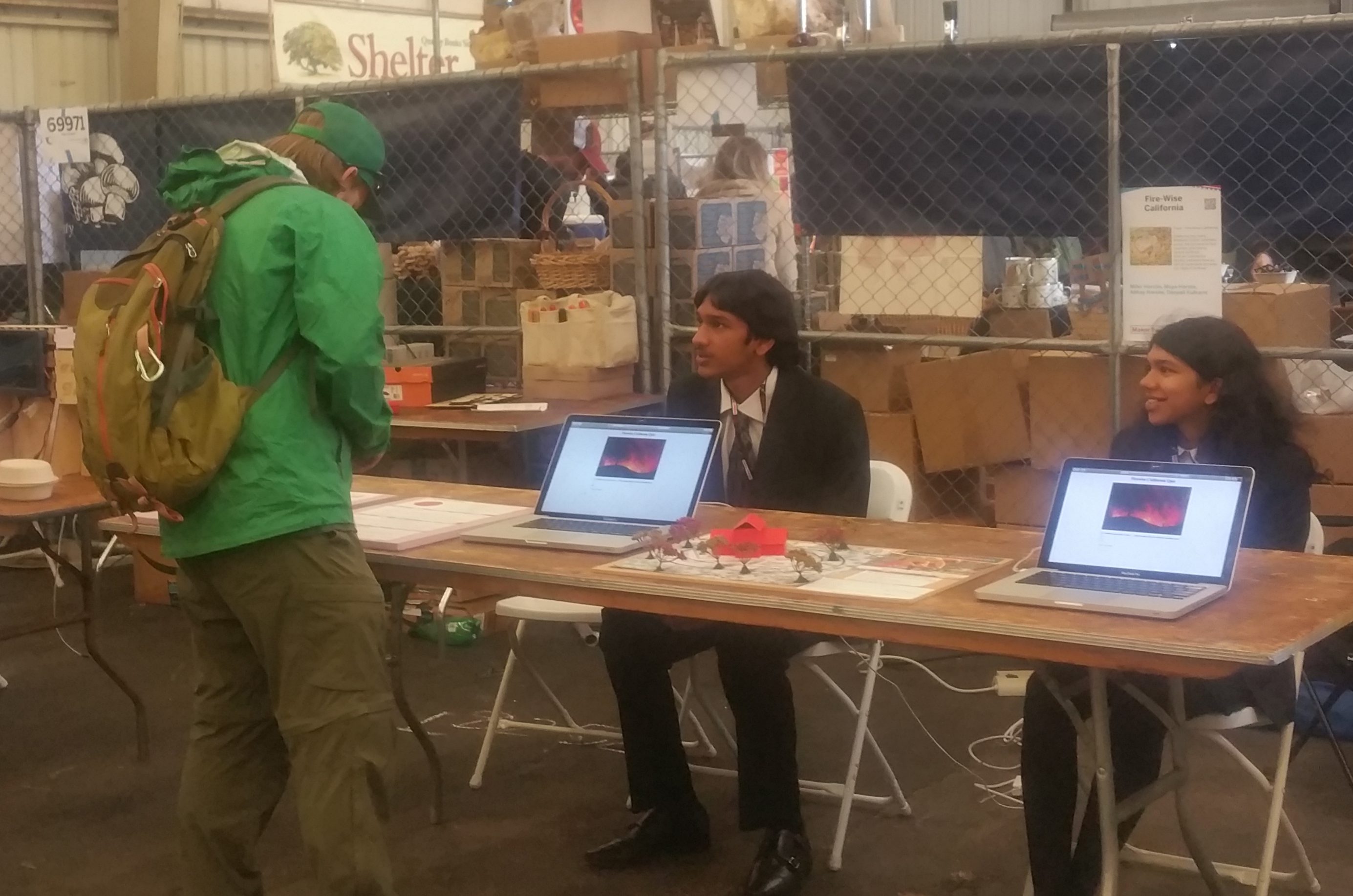
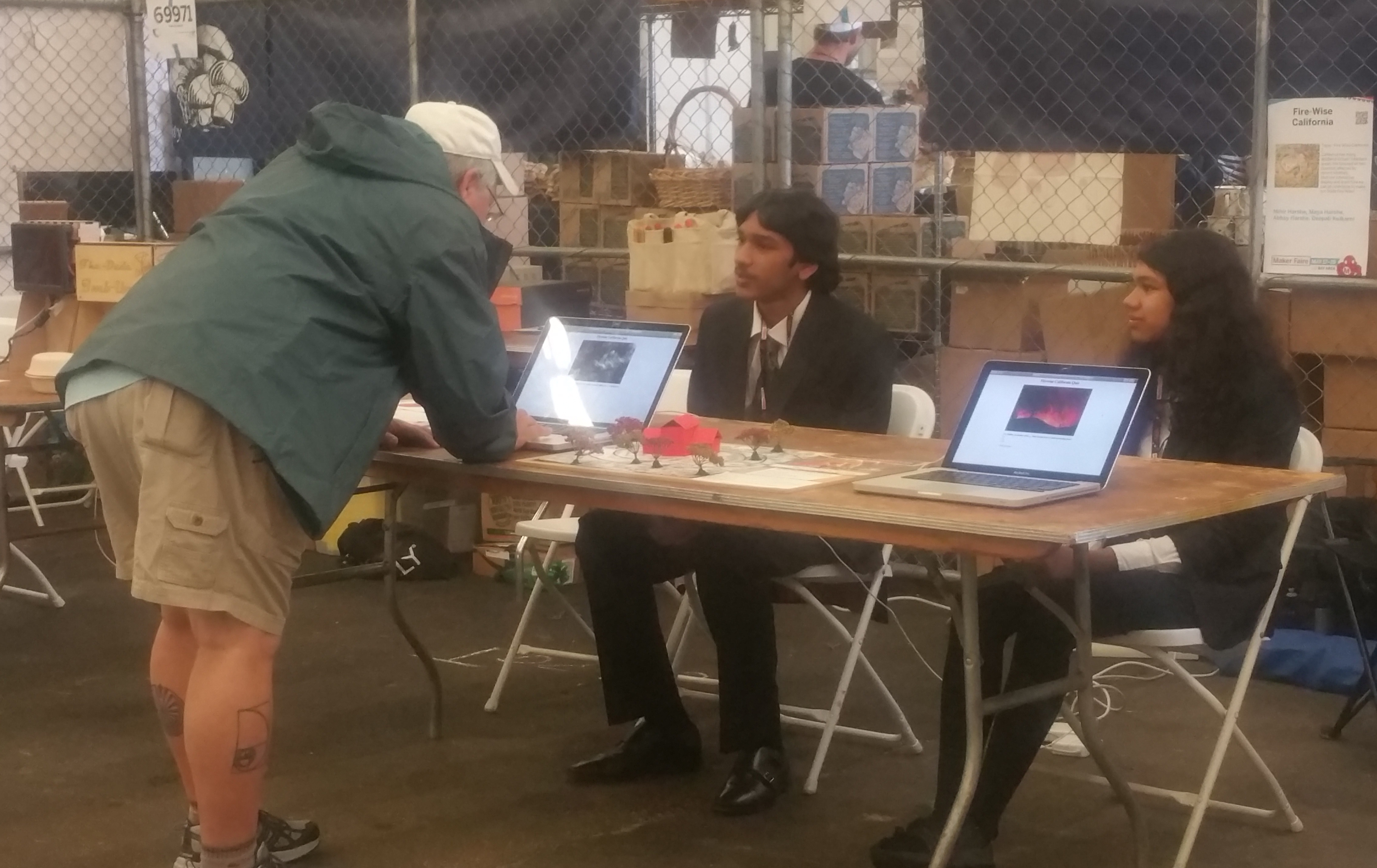
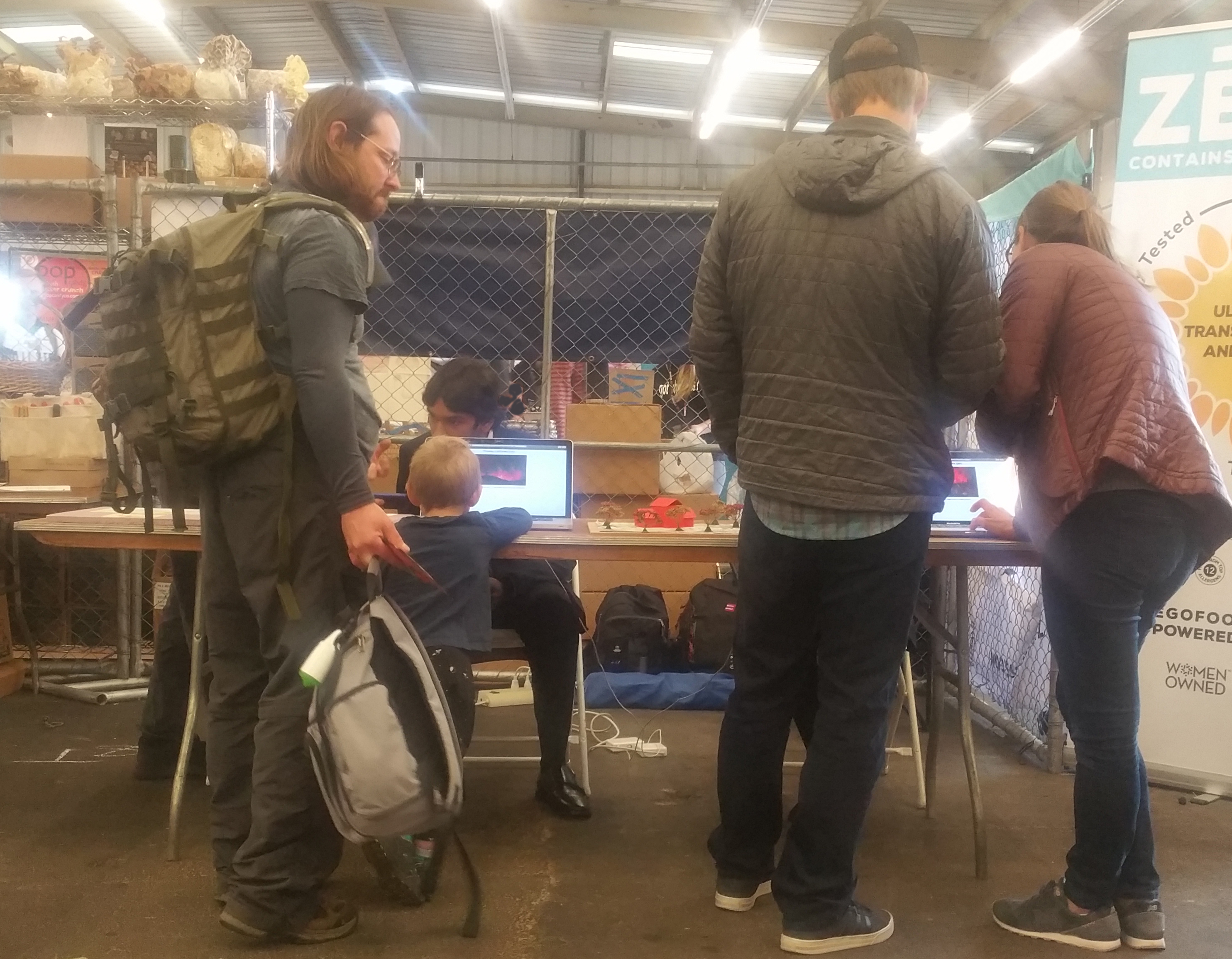
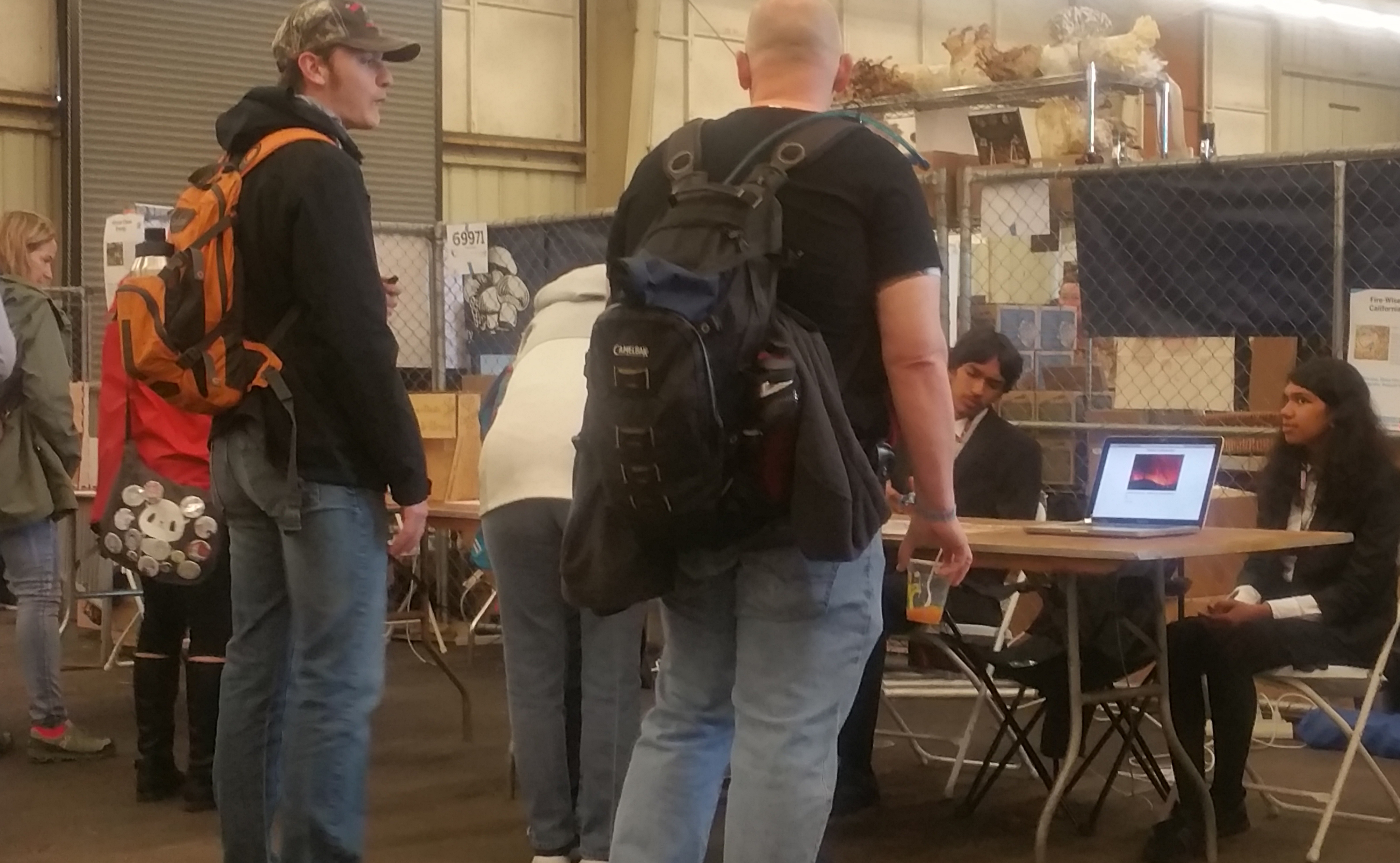
For the Fair, our goal was to connect with people to raise awareness. So we created an interactive code based on fire-safety for visitors to test their knowledge on this topic. We were able to reach out to over 20,000 visitors. They found it engaging and we received plenty of heartfelt response.
We connected with Fire-wise Coordinator of Lake county in order to reach out to local students and young adults interested in this cause. We collected feedback from ours state’s assembly member who has worked on Wild-fires and learned about unbiased data.
Fire Rating Indicator
We focused on Kern and Lake counties in California. We define these as ‘Indicator counties’. Our selection was based on travel to these counties, connecting with local organizations and USGS map data. These counties have been majorly hit with fires in the recent past.
We have developed an application that retrieves key current parameters namely wind speed, temperature and humidity on any given time in the Regions and indicates the susceptibility to fire based on the conditions. This can help alert residents to seek further help from official sources to plan accordingly.